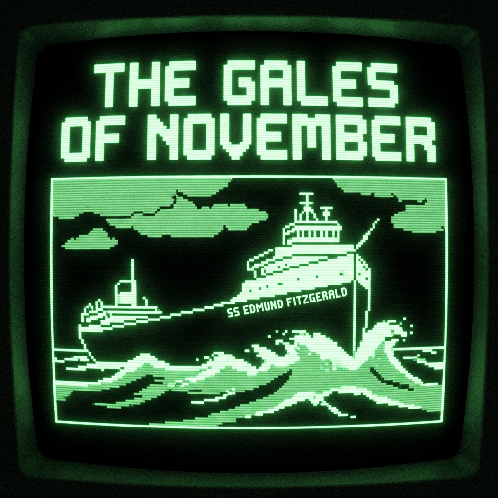
The Story of the Edmund Fitzgerald
The SS Edmund Fitzgerald was an American Great Lakes bulk freighter that sank in eastern Lake Superior during a severe autumn gale on November 10, 1975, taking the lives of all 29 crew members aboard. When launched in June 1958, she was the largest vessel on the Great Lakes and held the title until 1971. Across 17 seasons, she hauled taconite iron ore pellets from Minnesota and Wisconsin ports to steel mills in Detroit and Toledo, logging more than one million miles—roughly 44 trips around the world.
Her sudden disappearance without a distress signal in 530 feet of water—just 17 miles north-northwest of Whitefish Point, Michigan—prompted sweeping reforms in Great Lakes navigation, survival suits, depth charting, and freeboard standards. Since the loss of the Fitzgerald, no major commercial freighter has sunk on the Great Lakes.
Explore the Story of the Edmund Fitzgerald
3D Model of the Ship, Specifications & Sinking Theories
Orbit and zoom a full 3D scale model of the 729-foot SS Edmund Fitzgerald. Toggle between calm waters, the November 10 gale, and the 3D sinking sequence; inspect the 21 hatch covers, 68 Kestner clamps, and “Iron Deckhand” gantry cranes; and compare the 4 official sinking theories.
- Interactive 3D WebGL Vessel Model (Orbit, Chase & Top-Down)
- Official Registry #277437 & Hull #301 Blueprint Specifications
- USCG, NTSB, LCA Shoaling & Rogue Wave Causation Theories
Interactive Map of the Final Journey & Words Spoken Along the Way
Trace the hour-by-hour course of the Edmund Fitzgerald and Arthur M. Anderson across Lake Superior on November 9–10, 1975. Click any of the 10 waypoints on the chart to inspect wind/wave telemetry and listen to the verbatim VHF radio calls spoken along the way.
- Interactive 10-Waypoint Lake Superior Nautical Chart & Auto-Play
- Verbatim VHF Radio Transmissions with Synthesized Audio Playback
- Caribou Island, Six Fathom Shoal, Radar Loss & “We Are Holding Our Own”
The 29 Crew Members & The Full Timeline as a Story
Honor all 29 men lost aboard the Edmund Fitzgerald with an interactive bronze ship's bell roll call listing every crewman's name, rank, and department—followed by the complete narrative story timeline from 1957 to the 1995 bell recovery.
- Interactive 29-Chime Ship's Bell & Full Crew Roll Call
- Narrative Story Chapters: 1958 Launch to 1976–1995 Dive Expeditions
- 530-Foot Wreck Site Diagram & Gordon Lightfoot's 1976 Ballad